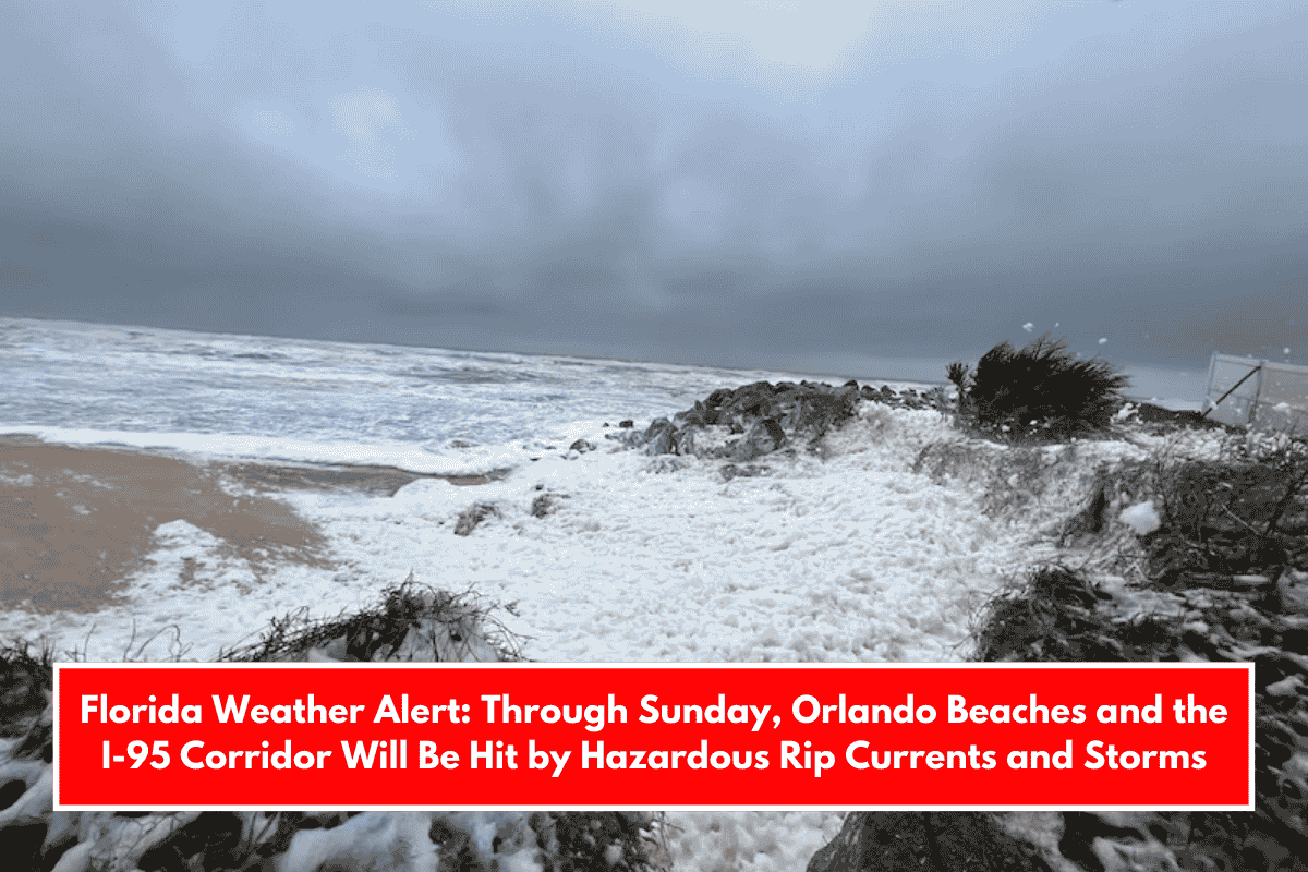
Orlando – Strong winds, rip currents, and storms are expected to intensify across east-central counties this weekend, posing serious risks to Florida beaches and boats. Travelers on I-95 and beachgoers from Flagler to Brevard should expect challenging conditions and follow advisories from early Saturday to midweek.
According to the National Weather Service in Melbourne, a life-threatening rip current risk remains in effect at all central Florida Atlantic beaches until Sunday. Small craft advisories will be issued overnight, particularly south of Sebastian Inlet, with poor to hazardous boating conditions expected to persist throughout the weekend.
Onshore winds will increase Saturday, with gusts up to 25 mph, particularly south of Cape Canaveral. Inland areas, including Orlando, will see highs around 83°F on Saturday, with increasing cloud cover and a 30% chance of evening thunderstorms. That chance increases on Sunday, with scattered thunderstorms and highs in the mid-80s.
Dry fuels, strong winds, and low humidity will all increase fire weather risks Friday afternoon, particularly in inland areas such as Seminole and Orange Counties.
Looking ahead, the extended five-day forecast remains uncertain:
- Sunday: Storms likely, highs in mid-80s.
- Monday: Isolated showers, warmer at 88°F.
- Tuesday: Slight chance of rain, breezy.
- Wednesday: Mostly sunny, high near 88°F.
- Thursday: Dry and sunny, winds calming.