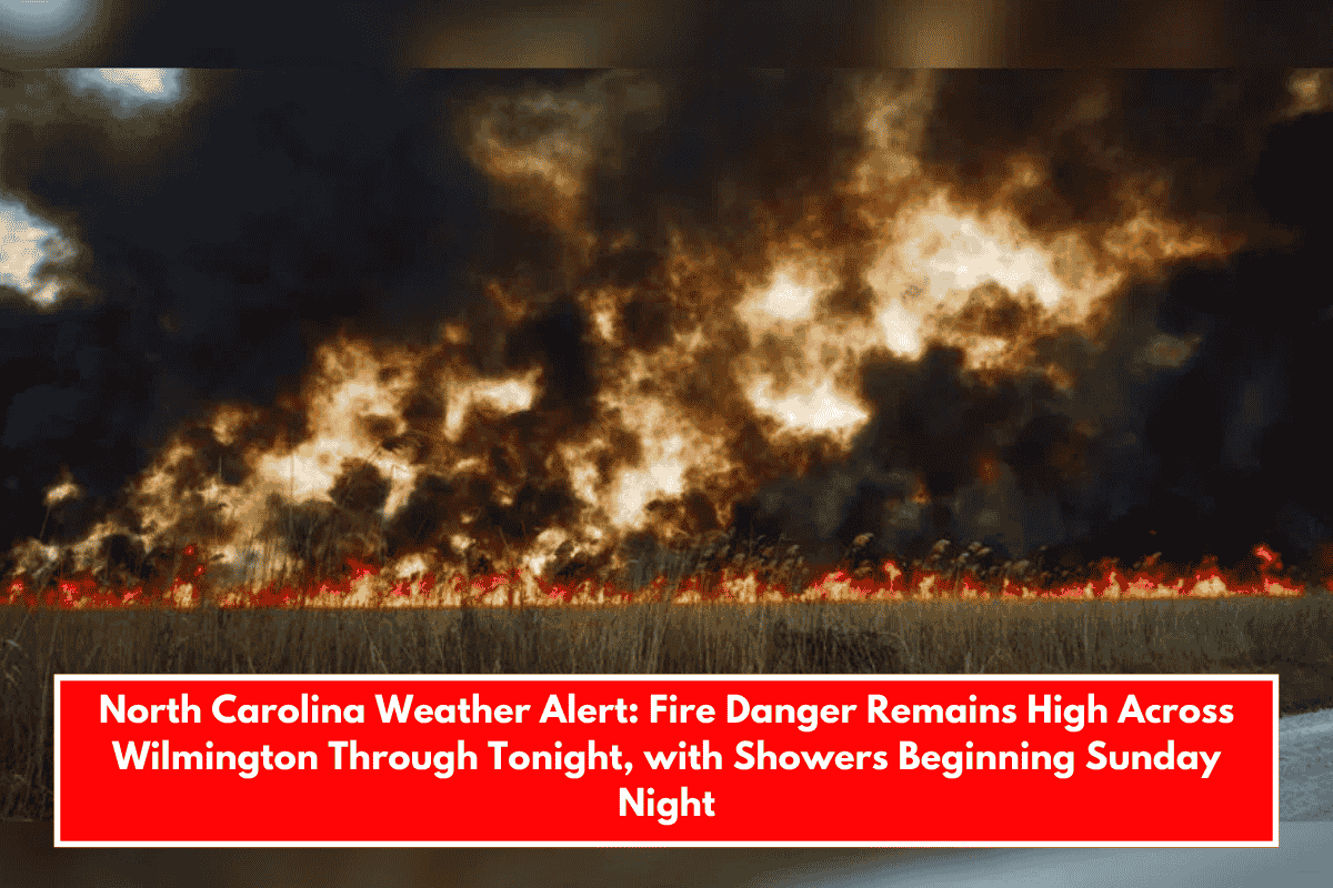
Wilmington – A high fire danger alert remains in effect for southeast North Carolina on Friday, with dry conditions and increasing wind speeds posing hazards. Residents in Wilmington and the surrounding areas, particularly along U.S. Route 74, are advised to avoid outdoor burning until at least 8 p.m. Friday, as flames can spread quickly.
According to the National Weather Service in Wilmington, NC, southeast winds will increase on Friday, gusting to 18 mph in the afternoon. The dry air and low humidity levels have elevated the region to a critical fire danger zone. Robeson, Bladen, Columbus, Pender, New Hanover, and Brunswick counties have all been affected.
Saturday brings relief with calm, sunny skies and highs around 76°F in Wilmington. Winds will remain light, providing a pleasant start to the weekend. Saturday night will bring more clouds but no precipitation.
Sunday will also be partly sunny, but a shift occurs Sunday night as moisture returns. After 8 p.m., there is a 40% chance of showers, rising to 50% by Monday. Rain is expected Monday night, with a 70% chance of precipitation.
5-Day Forecast for Wilmington, NC:
- Saturday: Sunny, high near 76°F
- Sunday: Partly sunny, high near 77°F; rain chances late
- Monday: Showers likely, high near 78°F
- Tuesday: Rain early, high around 73°F
- Wednesday: Mostly sunny, high near 73°F