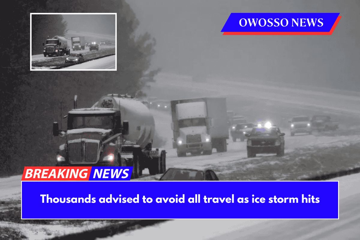
Thousands of people have been urged to avoid all travel as a powerful ice storm moves across the United States, with the National Weather Service (NWS) issuing weather warnings from Saturday to Sunday.
Why It Matters
Ice storms are dangerous because freezing rain accumulates on roads, power lines, and trees. The slick, icy surfaces create extremely dangerous driving conditions, increasing the risk of vehicle accidents.
Falling tree limbs and downed power lines can result in widespread power outages, leaving residents and businesses without heat or electricity. The added weight of ice can also harm roofs and structures, and slippery sidewalks and driveways increase the risk of accidents and injuries.
What To Know
An ice storm warning has been issued for parts of Michigan and Wisconsin, with freezing rain, snow, and sleet expected to create hazardous road conditions, widespread power outages, and snapped tree limbs.
Alger, Luce, Delta, and Schoolcraft counties in Michigan’s Upper Peninsula are expecting up to 8 inches of snow and ice accumulations of up to half an inch by Sunday evening, while Dickinson, Iron, and Menominee Counties could see up to 6 inches of snow.
The heaviest snowfall is expected along and north of M-28, with icy roads making travel nearly impossible. Marquette County could receive up to 12 inches of snow in higher elevations, with half an inch of ice threatening to down power lines and trees.
Meanwhile, ice is expected to cause road and bridge problems in the northeastern part of Michigan’s Lower Peninsula, including Alpena, Montmorency, and Otsego Counties, as well as Cheboygan, Emmet, and Presque Isle Counties. Power outages and tree damage are both possible.
Several counties in northern and central Wisconsin, including Price, Langlade, Oneida, Florence, Forest, northern Marinett, northern Oconto, Lincoln, and Menominee, are under Ice Storm Warnings until Sunday evening. Up to four-tenths of an inch of ice, snow, and sleet is expected, with accumulations ranging from one to six inches.
Marathon, Shawano, and Taylor counties will all be affected. The storm is expected to make travel almost impossible, especially on highways and rural roads. Forecasters warn that ice-laden trees and power lines may fall, causing prolonged power outages.
Authorities strongly advise residents to avoid all non-essential travel, as roads, bridges, and overpasses will be extremely slippery.
Those who must travel are advised to pack emergency supplies such as food, water, a flashlight, and blankets in case they become stranded. Power companies are preparing for potential outages, and residents are asked to report downed power lines and stay away from any fallen branches near electrical wires.
Meanwhile, winter storm warnings are in effect in five states this weekend, including Michigan, Wisconsin, Minnesota, Vermont, and New York, and residents are encouraged to check forecasts for more information on their specific area.
Travel is strongly discouraged in all affected areas, unless absolutely necessary. It is critical to have an extra flashlight, food, and water in your vehicle in case of an emergency. Power outages are expected, and road conditions will be slippery and dangerous, particularly on bridges and overpasses.
What People Are Saying
According to the National Weather Service in Marquette, Michigan, the Upper Peninsula will experience a lull in wintry precipitation today (Saturday), followed by heavy snow and a wintry mix tonight and Sunday. Heavy snowfall is expected in the Keweenaw, western, and north-central Upper Peninsula.”
What Happens Next
The storm is expected to subside by Sunday evening, but forecasters warn that ice on power lines and trees may continue to pose hazards until Monday.