The National Weather Service reports that damaging winds of up to 95 mph were produced by a massive line of storms that marched across Michigan late this afternoon and early this evening.
A series of severe thunderstorm and tornado warnings were issued as the storm system that entered Michigan in the southwest corner of the state moved eastward toward Ann Arbor, Detroit, and The Thumb. Additionally, this squall line was powerful.
There were some enormous gusts of wind from this swift storm. One location in Berrien County, southwest Michigan, recorded a gust of 78 mph, while the NWS office in Kent County recorded an 81 mph gust at Gerald R. Ford International Airport. There were also reports of straight-line, destructive winds.
In Jackson County, a gust of 96 mph was even reported. That one seems to be accurate, but the National Weather Service was investigating its accuracy.
As the storm moved across Michigan, MLive Chief Meteorologist Mark Torregrossa stated, “That would be one of the strongest winds in years in Michigan.”
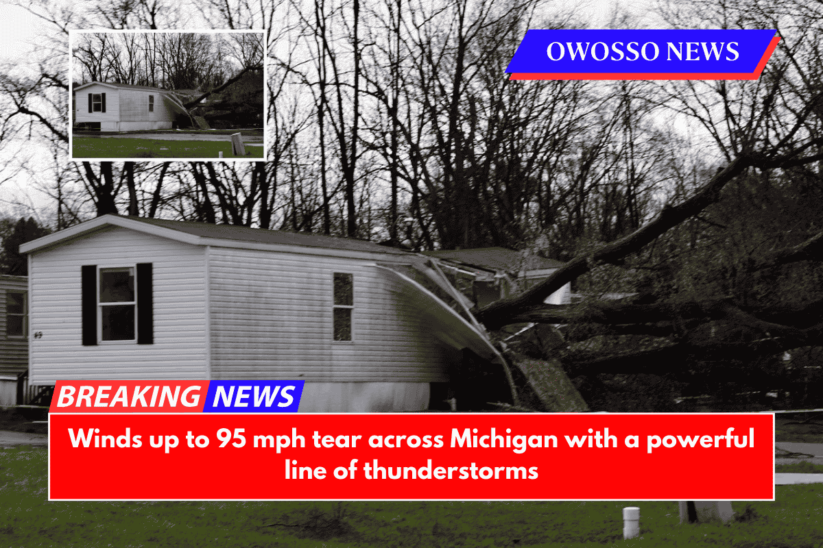
A tree struck a Stockbridge residence, and another fell on a trailer in Jackson County, reportedly injuring people. Trees in Kalamazoo County caused damage to a few mobile homes.
Trees were reported down, debris was found on roads, and some roads were flooded by heavy rain. There were also reports of hail, downed power lines, and intermittent power outages.
During these intense storms, there were some reports of potential tornadoes on the ground, but the National Weather Service has not yet confirmed any of them.
There were numerous public reports of a tornado on the ground that was seen at Oak and 104th, according to one report from Newaygo County. Radar-estimated time: 6:05 p.m.
Fire officials in Ingham County made another reference to a potential touchdown in Leslie. Once more, there is no confirmation.
By 10 p.m., the severe weather that has left the west side of the state should move out of the east.


